
Guía de ruta
Puerto Gringo is a medium hiking route in Santiago, Nuevo León. The trail is approximately 20 km with about 1094 meters of elevation gain and usually takes around 7 hours.Trail overviewPuerto Gringo is a good option when you want something that feels more substantial than a quick viewpoint hike but still does not get into especially technical terrain. It is a longer route with a steady climb, good elevation gain, and some really nice views as you work your way higher into the mountain. Even though the technical side is pretty manageable, the distance and climbing still make it a workout, especially if you are not used to longer hikes. What makes this route appealing is that it gives you a bit of everything: a scenic mirador, a higher point near the antenna area, and a circular layout that keeps the hike interesting. It is the kind of trail that feels best when you want a proper mountain day without needing hands-on scrambling or anything too exposed.Route summaryThe trail is a loop, so you are not just going up and back the same way. You start from lower elevation and gradually work your way up toward the Puerto Gringo viewpoint area before continuing higher toward the antenna zone. The climbing is steady and the route gains a lot of elevation overall, but it is more of a sustained effort than a brutally steep sufferfest. Once you get higher up, the payoff is in the views and the feeling of covering a real mountain route. Because it is a circular hike, the descent gives you a bit of variety instead of just retracing every step. That makes it a more enjoyable option for anyone who likes longer routes and wants a hike that feels complete from start to finish.Tips and safetyBring at least 2 liters of water, and more if it is hot. The recommended range for this route is around 1.5 to 2 liters plus some kind of electrolyte drink. Go with trail shoes or hiking shoes that have solid grip. Take sun protection seriously: hat, sunscreen, and ideally clothing that helps with exposure. Bring snacks or a light lunch since this is long enough to feel like a true half-day or full-day outing. Do not underestimate it just because the terrain is not especially technical. The distance and elevation gain are still enough to wear people out. Start early so you are not doing the hardest part of the climb in the strongest heat. A long-sleeve dry-fit shirt and pants are a smart choice for comfort and sun protection.
Resumen
Puerto Gringo es muy buena opción cuando quieres algo que se sienta más completo que una caminata rápida a un mirador, pero sin meterte en terreno especialmente técnico. Es una ruta más larga, con subida constante, buen desnivel y vistas muy buenas conforme vas ganando altura. Aunque en lo técnico es bastante manejable, la distancia y la subida igual hacen que se sienta como ejercicio, sobre todo si no estás acostumbrado a rutas largas.
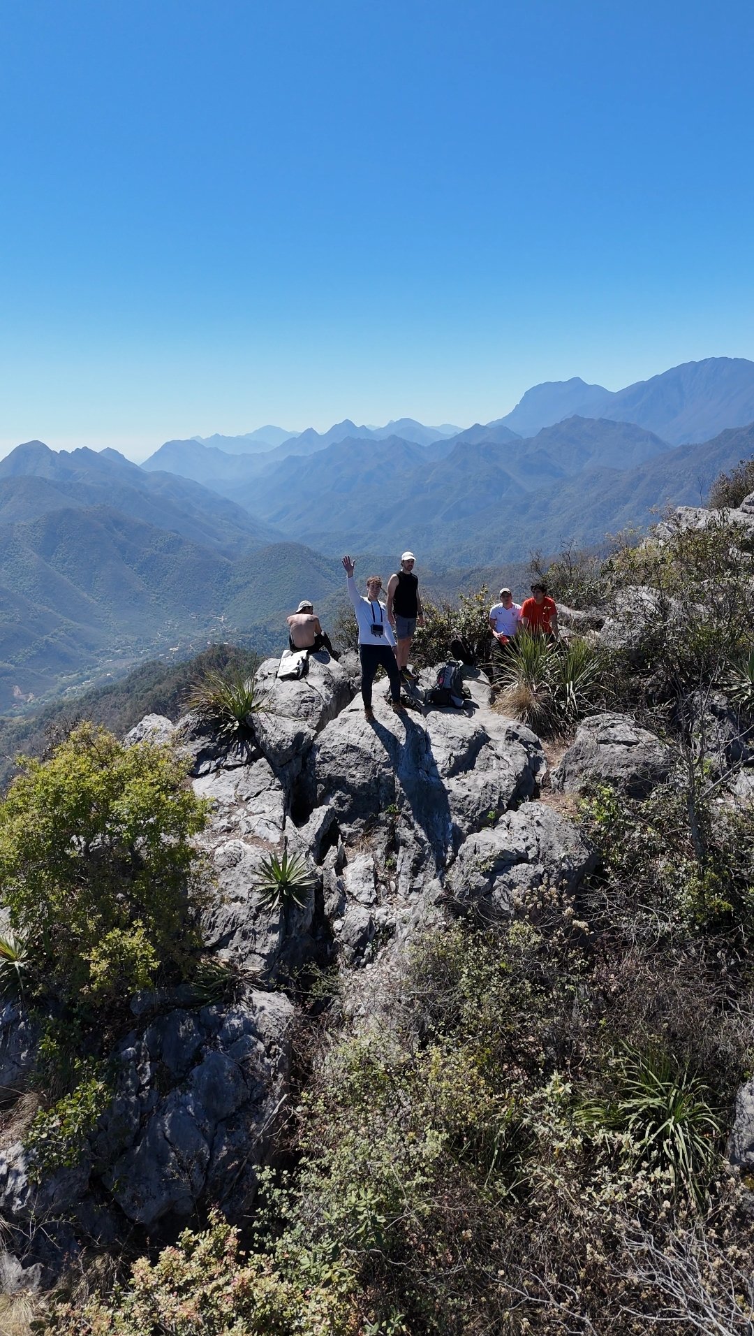
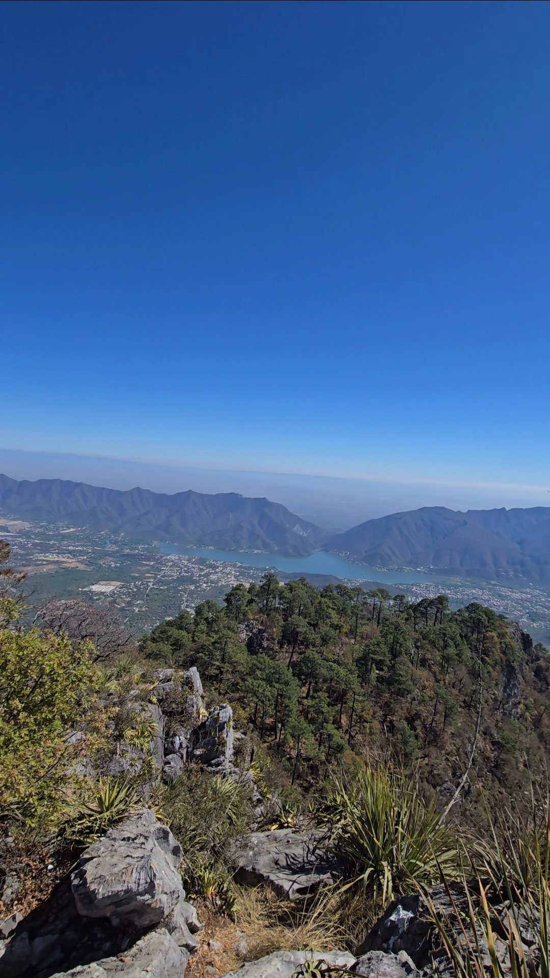
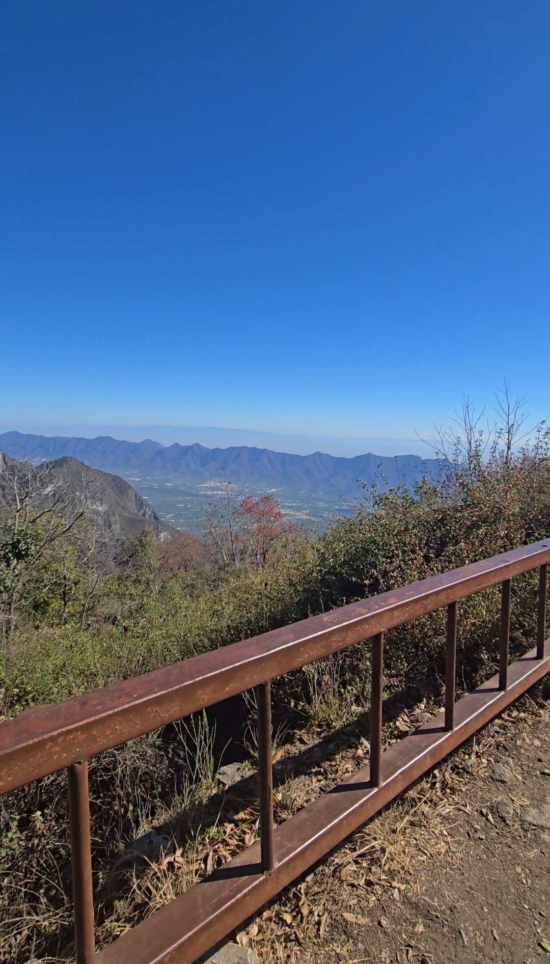
Lo que hace atractiva esta ruta es que te da un poco de todo: un mirador con muy buenas vistas, una parte más alta cerca de la zona de antenas y un recorrido circular que hace la caminata más interesante. Es de esas rutas que se disfrutan mucho cuando quieres un buen día de montaña sin necesidad de trepadas técnicas ni tramos demasiado expuestos.
Cómo llegar
La ruta está en la zona de Santiago, cerca de Villa Saldívar. Es de esas caminatas donde conviene tener bien claro el punto de inicio antes de llegar, sobre todo si vas temprano en la mañana. Como es una ruta larga, yo la trataría como una salida completa y llegaría con todo listo, en vez de asumir que ya ahí vas a resolverlo.
Ruta
La ruta es circular, así que no nada más subes y bajas por el mismo camino. Empiezas desde una parte más baja y poco a poco vas ganando altura rumbo al área del mirador de Puerto Gringo, antes de seguir subiendo hacia la zona de antenas. La subida es constante y en total se gana bastante desnivel, pero se siente más como un esfuerzo sostenido que como una subida brutalmente castigadora.
Ya más arriba, la recompensa está en las vistas y en la sensación de realmente recorrer una ruta de montaña. Como es una caminata circular, la bajada también tiene un poco más de variedad en lugar de simplemente deshacer cada paso. Por eso se vuelve una opción más disfrutable para quien le gustan las rutas largas y quiere una caminata que se sienta completa de principio a fin.
Tips y seguridad
Lleva al menos 2 litros de agua, y más si hace calor. Para esta ruta, el rango recomendado es alrededor de 1.5 a 2 litros, además de algún tipo de bebida con electrolitos.
Ve con tenis de trail o calzado de senderismo que tenga buen agarre.
Tómate en serio la protección solar: gorra o sombrero, bloqueador y, de preferencia, ropa que ayude a protegerte de la exposición.
Lleva snacks o una comida ligera, ya que la ruta es lo suficientemente larga como para sentirse como una salida de medio día o incluso de día completo.
No la subestimes solo porque el terreno no es especialmente técnico. La distancia y el desnivel siguen siendo suficientes para cansar bastante.
Empieza temprano para no hacer la parte más pesada de la subida durante el calor más fuerte.
Una playera dry-fit de manga larga y pantalón son una buena opción para mayor comodidad y protección contra el sol.
Reseñas
Opiniones
Comparte condiciones, seguridad, dificultad y cualquier información útil para el próximo senderista.
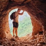 Subida por
Henry Hates Hiking
Subida por
Henry Hates Hiking
Reseñas recientes
0Inicia sesión para dejar una reseña
Lo siento, debes estar conectado para publicar un comentario.
Sé la primera persona en dejar información útil sobre esta ruta.