
Trail guide
Pico Norte is a moderate hiking route in Cerro de la Silla, Monterrey, Mexico. The trail is approximately 10.9 km with about 1426 meters of elevation gain and usually takes around 8 hours.Trail overviewThis is a serious route: climbing to the highest point of Cerro de la Silla (Pico Norte) via the steep and narrow “Ruta de los Elefantes.” The terrain starts fairly typical but soon becomes steep, rocky, with a sharp incline nearing the summit (~1,821 m). You’ll traverse forested slopes, rock slabs, and exposed ridges. The route demands good physical condition, focus, and endurance. Great reward at the top with panoramic city views.Route summaryThe hike begins on the standard path toward the antenna station, then you take a clear right turn into the Elefantes ridge. After initial forest trail you’ll hit narrow, steep rock and boulder fields — this is the “Pass of the Elephants.” As you ascend, view opens gradually, terrain becomes exposed, slope steepens. The final section climbs toward the summit (~1,821 m) of Pico Norte. Descend the same route or alternate if you’re experienced. Footing on the descent demands caution.Tips and safetyBring at least 3–4 liters of water; the long climb + steep slope will drain you. Wear shoes with very good traction — rock slabs and loose terrain make slips dangerous. Start very early (sunrise if possible) to avoid midday heat and ensure daylight for descent. Use offline maps or GPX trace; after deviation the trail markings become sparse. If you feel dizzy/breathless, rest — steep altitudes demand respect. Gloves are useful (for grabbing rocks, boulders, rough handholds). Sun protection: at higher slope exposures you’ll bake faster. Descending requires more attention than ascending—go slow, watch your step. Let someone know your return time. The trail has remote sections with few other hikers.
Overview
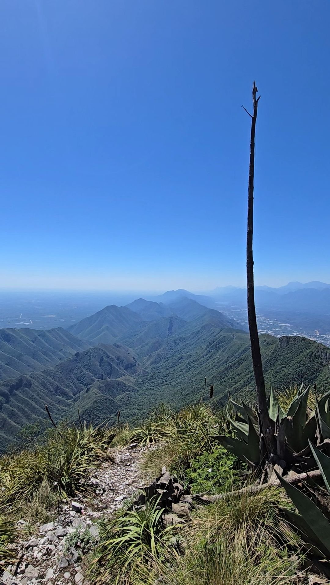
This is a serious route: climbing to the highest point of Cerro de la Silla (Pico Norte) via the steep and narrow “Ruta de los Elefantes.” The terrain starts fairly typical but soon becomes steep, rocky, with a sharp incline nearing the summit (~1,821 m). You’ll traverse forested slopes, rock slabs, and exposed ridges. The route demands good physical condition, focus, and endurance. Great reward at the top with panoramic city views.
Getting there
Start from the Bosques de la Pastora / Colonia La Pastora zone (Guadalupe/Monterrey). Park in the accessible street area early (before many hikers). Begin on the trail that leads toward the teleférico/antenna zone, then branch off at the marked deviation to the Ruta de los Elefantes. Ensure you bring water, early start, and a method to track your route (GPX/offline map) as markings get less obvious higher up.
Route summary
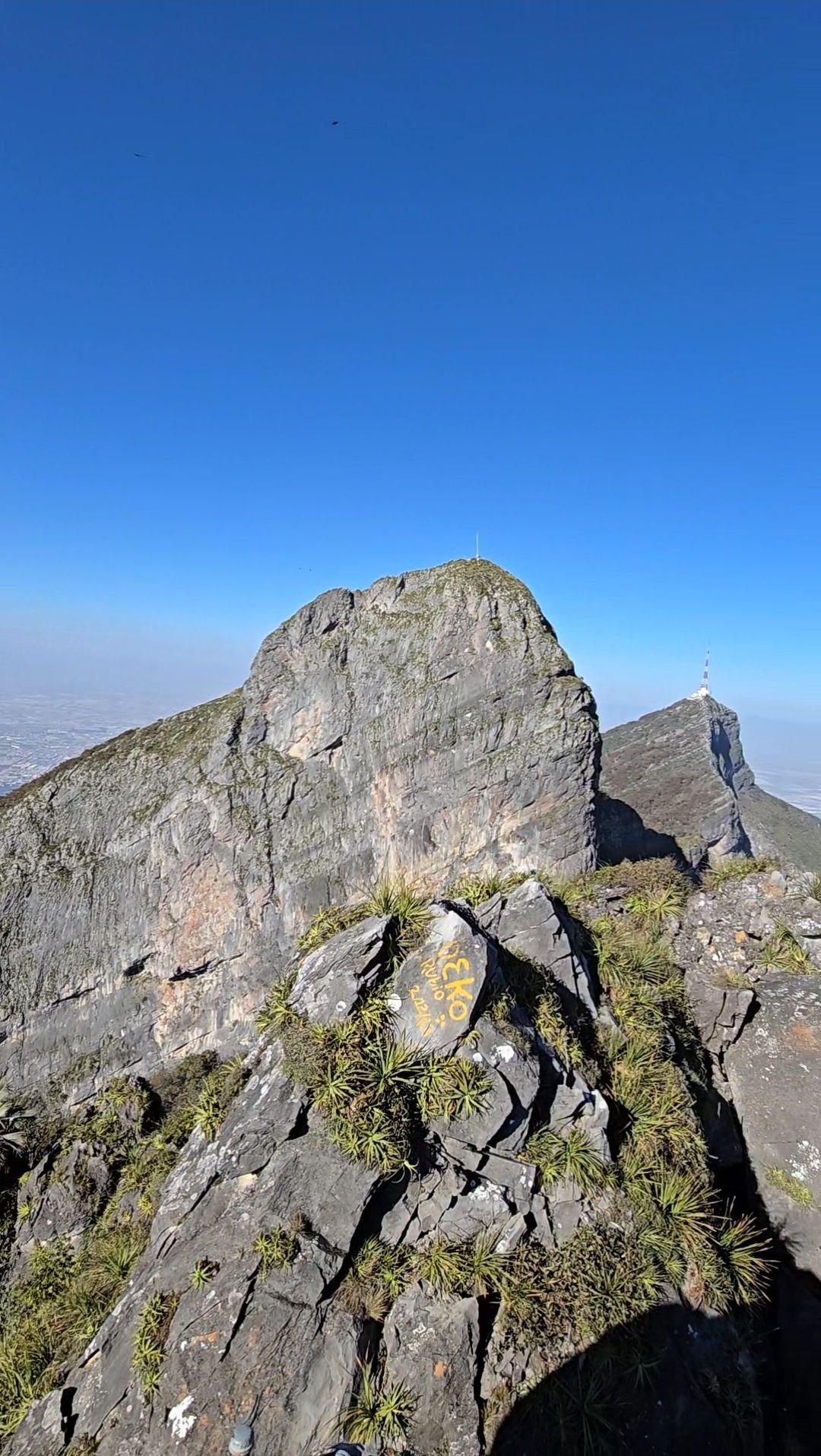
The hike begins on the standard path toward the antenna station, then you take a clear right turn into the Elefantes ridge. After initial forest trail you’ll hit narrow, steep rock and boulder fields — this is the “Pass of the Elephants.” As you ascend, view opens gradually, terrain becomes exposed, slope steepens. The final section climbs toward the summit (~1,821 m) of Pico Norte. Descend the same route or alternate if you’re experienced. Footing on the descent demands caution.
Tips & safety
Bring at least 3–4 liters of water; the long climb + steep slope will drain you.
Wear shoes with very good traction — rock slabs and loose terrain make slips dangerous.
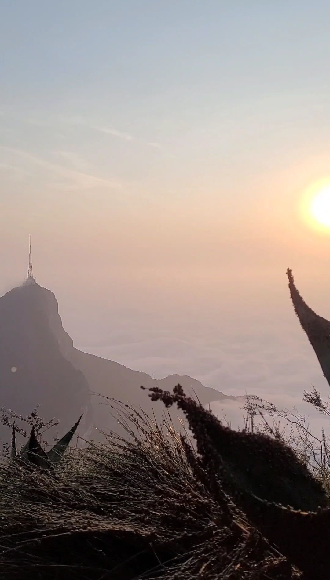
Start very early (sunrise if possible) to avoid midday heat and ensure daylight for descent.
Use offline maps or GPX trace; after deviation the trail markings become sparse.
If you feel dizzy/breathless, rest — steep altitudes demand respect.
Gloves are useful (for grabbing rocks, boulders, rough handholds).
Sun protection: at higher slope exposures you’ll bake faster.
Descending requires more attention than ascending—go slow, watch your step.
Let someone know your return time. The trail has remote sections with few other hikers.
Reviews
Reviews
Share conditions, safety notes, difficulty, and anything helpful for the next hiker.
 Uploaded by
Henry Hates Hiking
Uploaded by
Henry Hates Hiking
Recent reviews
0Log in to leave a review
You must be logged in to post a comment.
Be the first person to leave useful feedback for this trail.