
Trail guide
Sillalogia is a difficult hiking route in Cerro de la Silla, Monterrey, Mexico. The trail is approximately 13 km with about 1260 meters of elevation gain and usually takes around 8.5 hours.Trail overviewOn this route you will climb all 4 peaks of the iconic Cerro de la Silla (Pico Antena, Pico Norte, Pico Sur, and Loma de la Virgen). This is a big physical and mental challenge. Only attempt this if you are 100% locked in. Route summaryStart by climbing the long, steep path toward the teleférico, passing viewpoints and rest areas along the ascent. The trail increases in incline as you approach the platform. After reaching the top, cross horizontally to Pico Norte and Pico Sur. You will have to go down and come back up to hit each peak. The descent toward San Ángel begins on steeper, looser terrain with several technical sections requiring careful footing. The trail eventually levels out as you reach the neighborhood at the base. Tips and safetyBring 3–4 liters of water due to sustained elevation gain. Wear footwear with strong grip—the San Ángel descent includes loose terrain and steep rock. Start early to have full daylight for both ascent and descent. Use sun protection; several sections are exposed. Download the GPX or map for offline navigation, especially for the descent. Let someone know your start and return plan. Move cautiously on the San Ángel side—steep areas require attention.
Overview
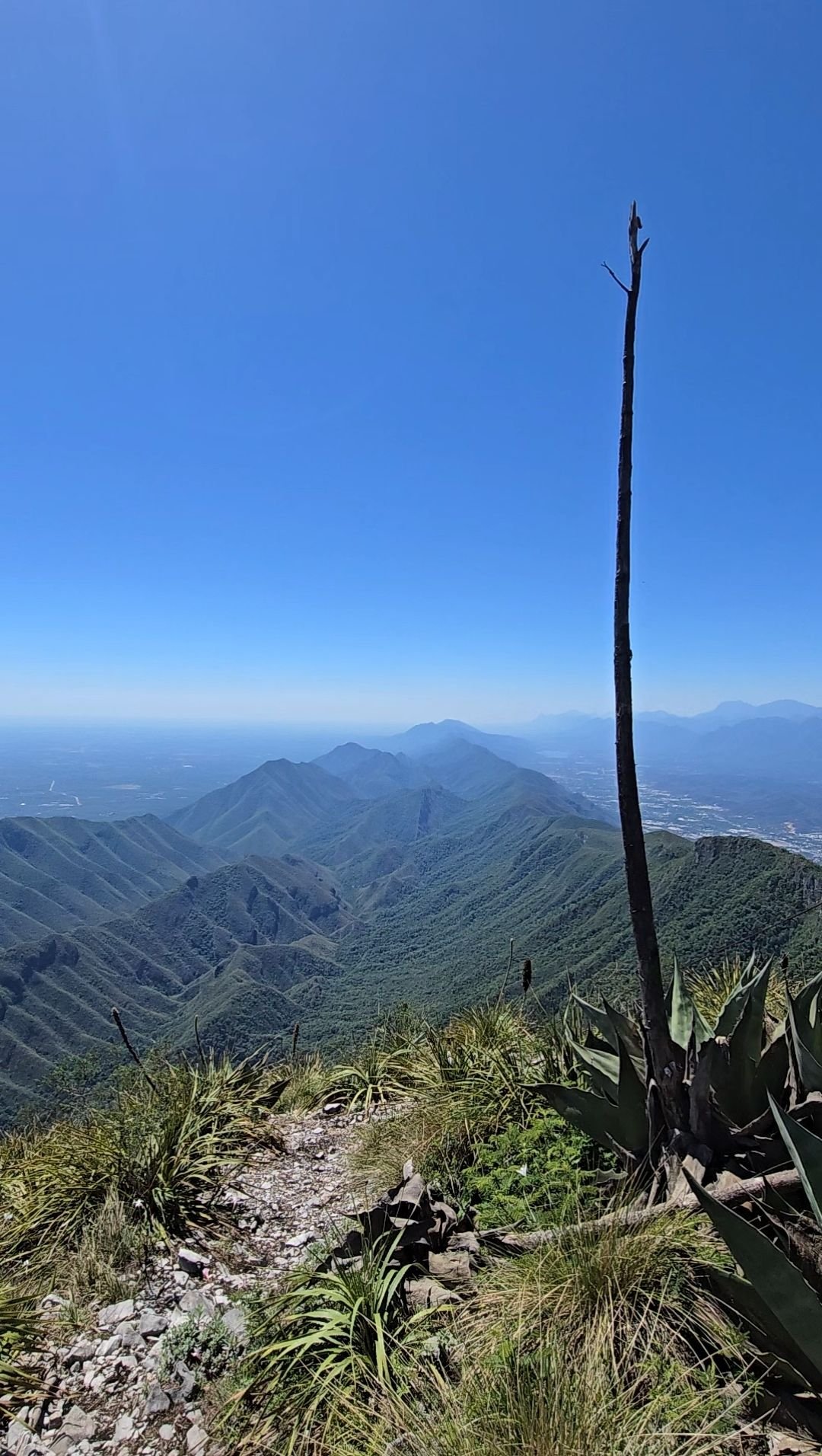
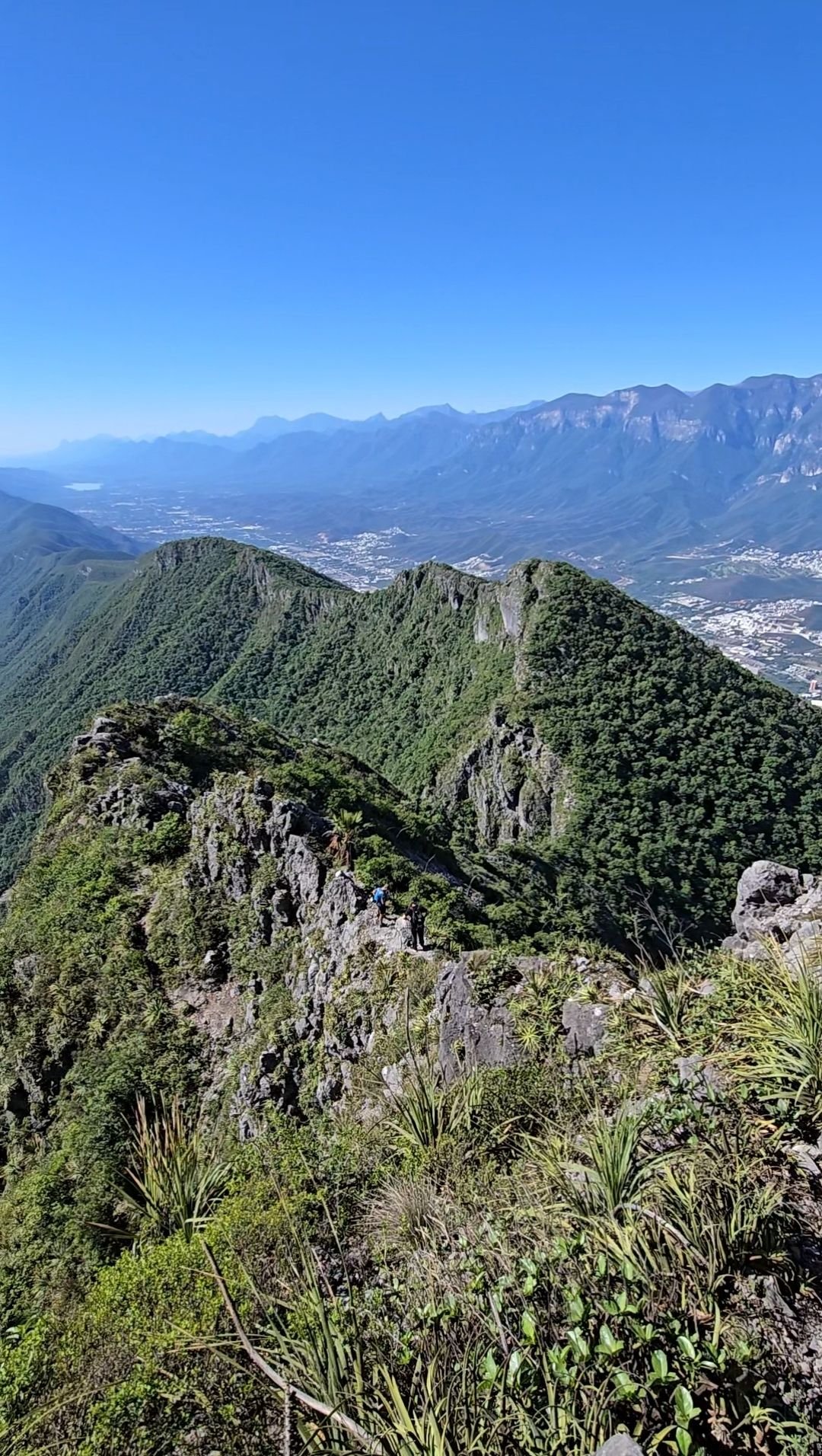
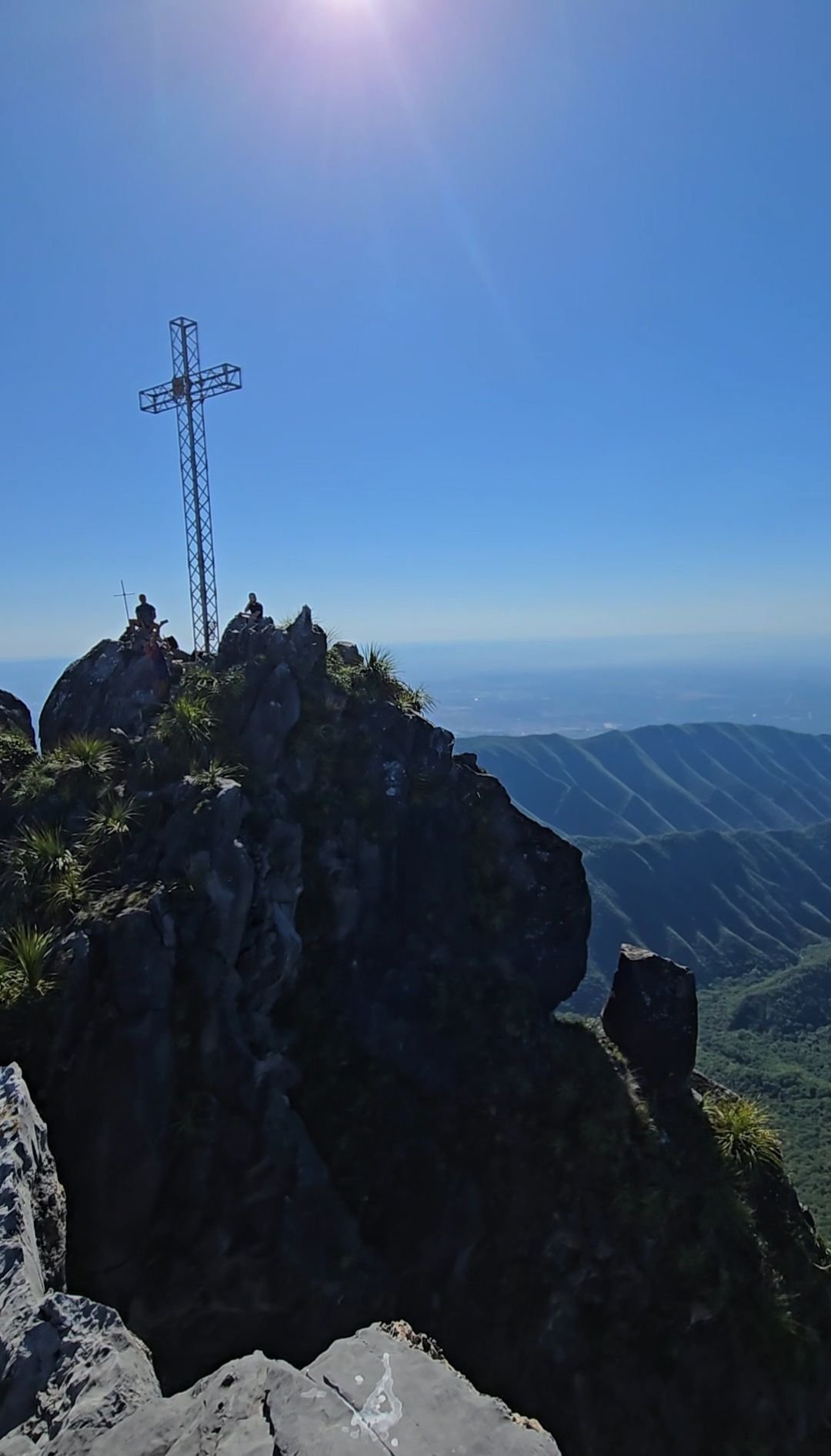
On this route you will climb all 4 peaks of the iconic Cerro de la Silla (Pico Antena, Pico Norte, Pico Sur, and Loma de la Virgen). This is a big physical and mental challenge. Only attempt this if you are 100% locked in.
Getting there
Begin from the Bosques de la Pastora / La Pastora access area in Guadalupe. Park in the designated public zones and walk to the controlled gate where the trail begins. The ascent leads toward the teleférico platform. For the descent through San Ángel, you finish near the neighborhood access of Colonia San Ángel, where you can arrange pickup or walk out to the street.
Route summary
Start by climbing the long, steep path toward the teleférico, passing viewpoints and rest areas along the ascent. The trail increases in incline as you approach the platform. After reaching the top, cross horizontally to Pico Norte and Pico Sur. You will have to go down and come back up to hit each peak. The descent toward San Ángel begins on steeper, looser terrain with several technical sections requiring careful footing. The trail eventually levels out as you reach the neighborhood at the base.
Tips & safety
Bring 3–4 liters of water due to sustained elevation gain.
Wear footwear with strong grip—the San Ángel descent includes loose terrain and steep rock.
Start early to have full daylight for both ascent and descent.
Use sun protection; several sections are exposed.
Download the GPX or map for offline navigation, especially for the descent.
Let someone know your start and return plan.
Move cautiously on the San Ángel side—steep areas require attention.
Reviews
Reviews
Share conditions, safety notes, difficulty, and anything helpful for the next hiker.
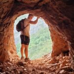 Uploaded by
Henry Hates Hiking
Uploaded by
Henry Hates Hiking
Recent reviews
1Log in to leave a review
You must be logged in to post a comment.
This has been one of my favorite hikes of all time! Super challenging and iconic. If you want a real challenge, I cannot recommend la Sillalogia enough to you.