
Trail guide
La Rayita is a easy hiking route in Parque Ecológico la Huasteca, Monterrey, Mexico. The trail is approximately 4 km with about 400 meters of elevation gain and usually takes around 3.5 hours.Trail overviewThis route will take you up a small mountain that sits at the entrance to Parque Ecológico la Huasteca, located in Santa Catarina, Nuevo Leon, Mexico. The only really difficult thing on this route is that there are parts with loose rock. Besides this, it is a very chill route. Route summaryFrom the trailhead you follow a defined path before entering the steep chorreadero section. After the chorreadero the route transitions onto a crest with panoramic views and some exposure. You continue up the ridge until you reach the summit of Pico 22. Return follows exactly the same way back down to your car.Tips and safetyBring at least 2 litres of water and snacks; the climb is steep in stretches. Wear shoes with excellent traction — rock slabs and crest terrain demand it. Sun protection is important: much of the ascent is exposed with minimal shade. Download or carry a GPX/map; though the path is used, the ridge and crest sections require route awareness. Start early to ensure you finish descent in daylight and avoid heat buildup. Let someone know your plan and estimated return time — the route includes exposed ridge sections where assistance may be slower.
Overview
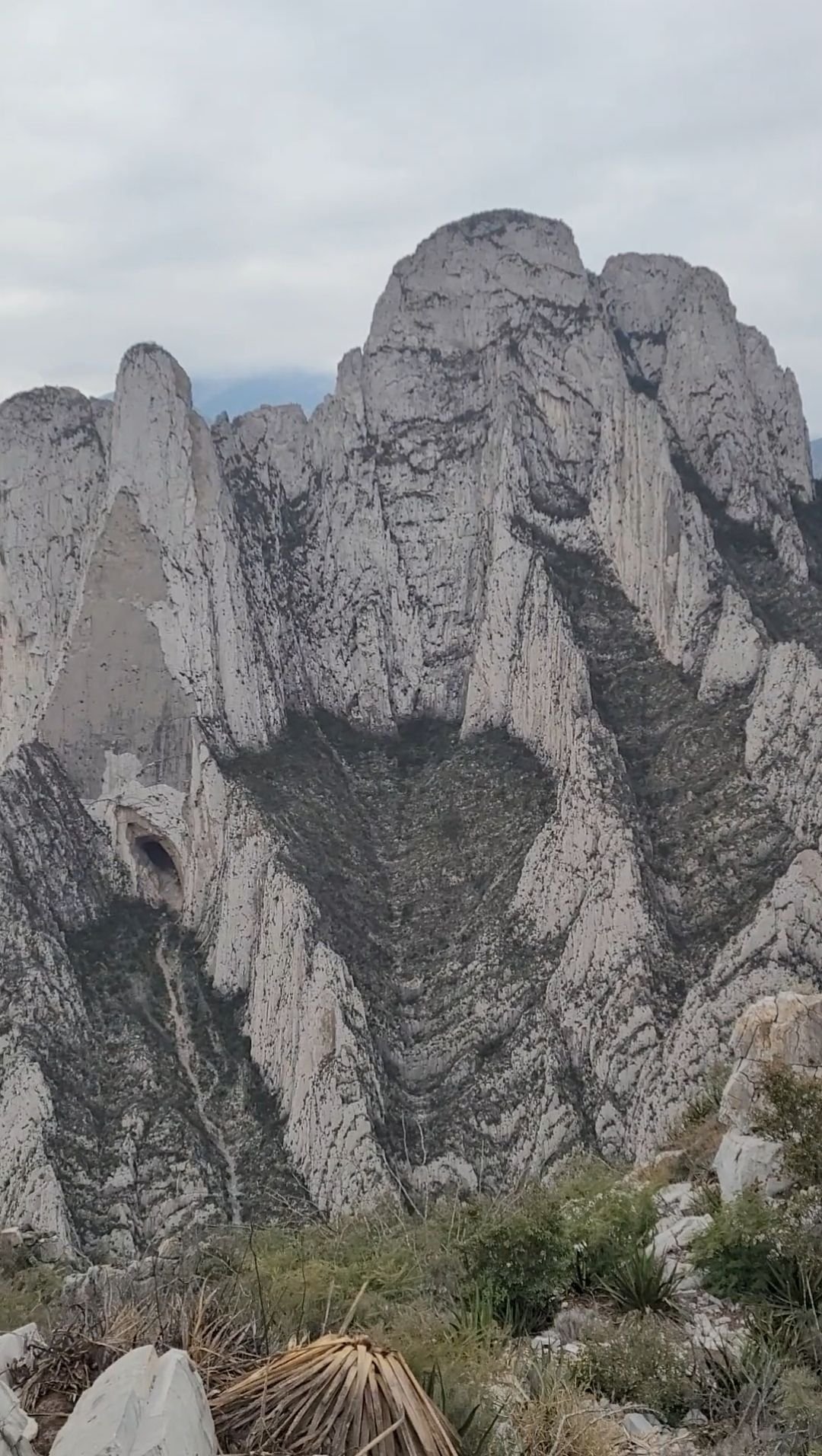
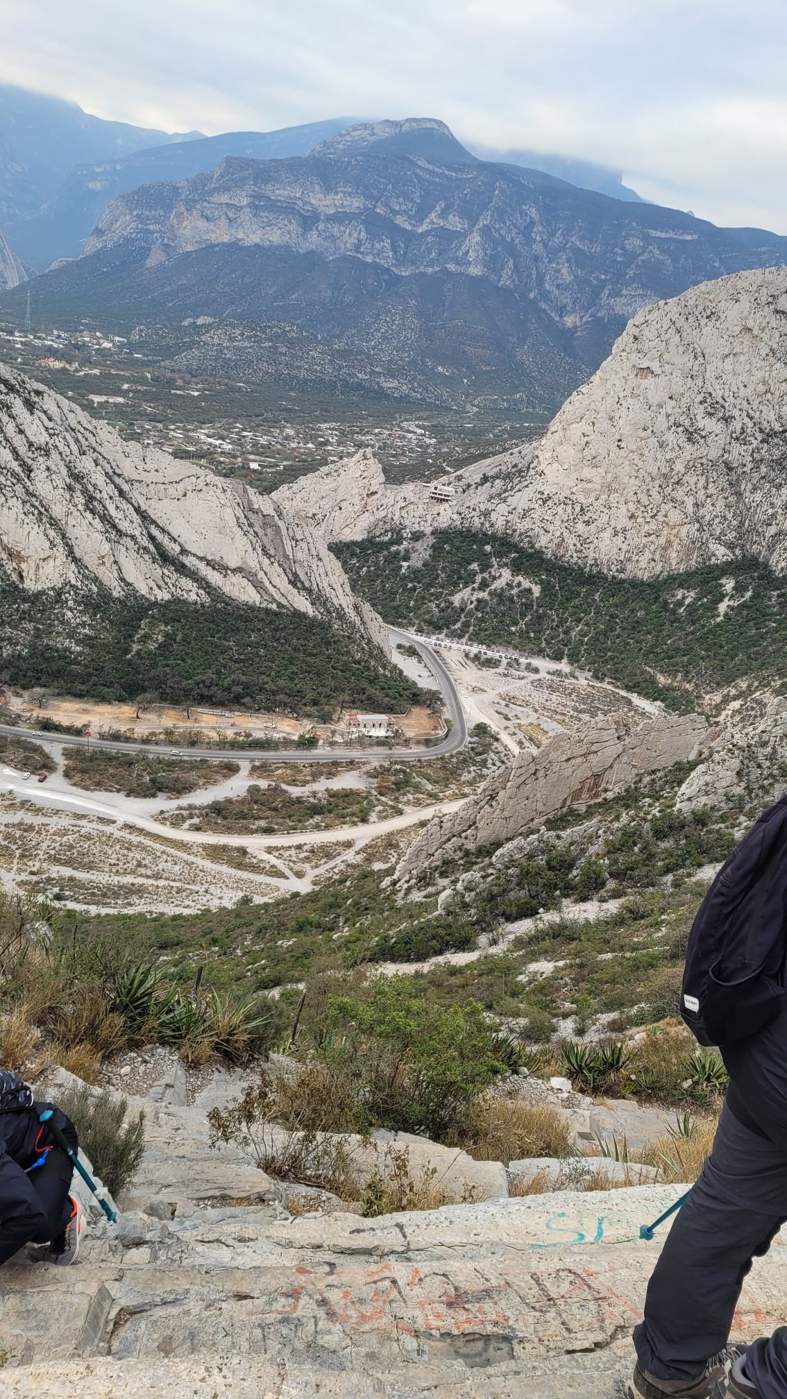
This route will take you up a small mountain that sits at the entrance to Parque Ecológico la Huasteca, located in Santa Catarina, Nuevo Leon, Mexico. The only really difficult thing on this route is that there are parts with loose rock. Besides this, it is a very chill route.
Getting there
Drive into Parque Ecológico La Huasteca via Santa Catarina. Park near the first designated lot after entering the park. From there, follow the trail towards the “V” of La Rayita, keeping to the marked path up the ridge. Early start is advised given sun exposure and technical terrain.
Route summary
From the trailhead you follow a defined path before entering the steep chorreadero section. After the chorreadero the route transitions onto a crest with panoramic views and some exposure. You continue up the ridge until you reach the summit of Pico 22. Return follows exactly the same way back down to your car.
Tips & safety
Bring at least 2 litres of water and snacks; the climb is steep in stretches.
Wear shoes with excellent traction — rock slabs and crest terrain demand it.
Sun protection is important: much of the ascent is exposed with minimal shade.
Download or carry a GPX/map; though the path is used, the ridge and crest sections require route awareness.
Start early to ensure you finish descent in daylight and avoid heat buildup.
Let someone know your plan and estimated return time — the route includes exposed ridge sections where assistance may be slower.
Reviews
Reviews
Share conditions, safety notes, difficulty, and anything helpful for the next hiker.
 Uploaded by
Henry Hates Hiking
Uploaded by
Henry Hates Hiking
Recent reviews
2Log in to leave a review
You must be logged in to post a comment.
Fun hike for beginners but kinda hard to get to and very hot
Divertido, pero si es importante definir por que lado vas a subir, ya que por dentro de la huaste a llegar a haber chorreaderos, y por fuera hay más sol, así que consideren esa info