
Trail guide
El Sapo is a difficult hiking route in García, Nuevo León, México. The trail is approximately 14 km with about 1607 meters of elevation gain and usually takes around 8 hours.Trail overviewEl Sapo is one of the hardest hikes near Monterrey and definitely not one I would recommend for beginners. What makes it so brutal is that you start low and gain a ton of elevation in a relatively short distance. It is a steep, demanding climb almost the entire way, with very little relief. The route is physically exhausting, heavily exposed to the sun, and best done by people who already have solid hiking experience and good fitness. This is the kind of hike that feels serious from the beginning. It is not just long — it is steep, punishing, and can wear you down quickly if you are not prepared. Near the top, there is also an exposed section that requires extra caution.Route summaryThe route starts climbing almost immediately and does not really let up. Most of the hike is a steep ascent with constant effort and lots of sun exposure. Because of how direct the route is, it feels relentless, especially as you get higher up. As you approach the summit, the terrain gets more serious and there is one exposed section that can be dangerous if you are tired, careless, or uncomfortable with heights. Once on top, you get big views and the satisfaction of finishing one of the tougher hikes in the region.Tips and safetyBring more water than you think you need. This hike is exposed and the heat can make it much harder. Start early, especially in warmer months. Do not attempt this hike unless you are already in good physical condition. Be extra careful near the summit where the terrain becomes more exposed. This is a much better hike for cooler weather than for hot summer days. Wear shoes with solid grip and bring enough food for a long day. Let someone know your plan before heading out.
Overview
El Sapo is one of the hardest hikes near Monterrey and definitely not one I would recommend for beginners. What makes it so brutal is that you start low and gain a ton of elevation in a relatively short distance. It is a steep, demanding climb almost the entire way, with very little relief. The route is physically exhausting, heavily exposed to the sun, and best done by people who already have solid hiking experience and good fitness.
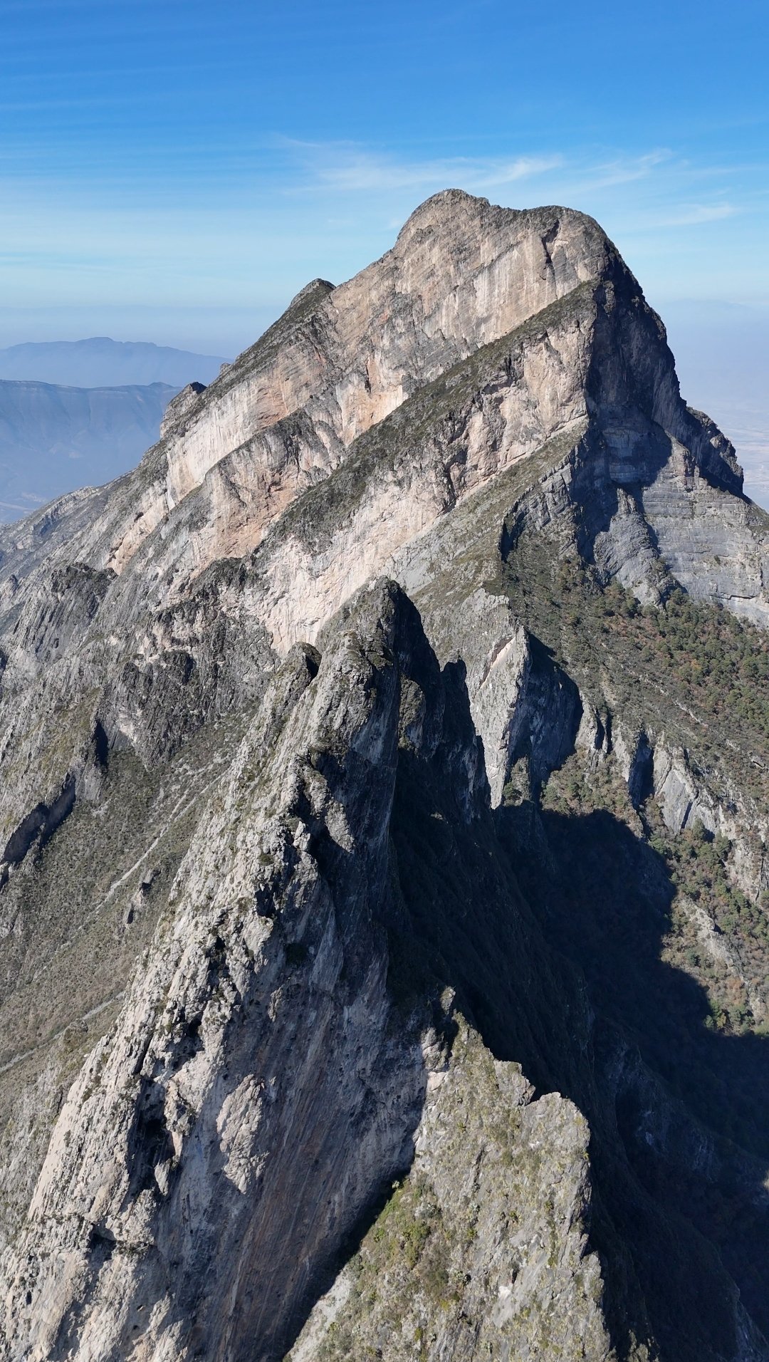
This is the kind of hike that feels serious from the beginning. It is not just long — it is steep, punishing, and can wear you down quickly if you are not prepared. Near the top, there is also an exposed section that requires extra caution.
Getting there
To get to the trailhead, head toward Icamole through García and continue into the Sierra del Fraile area. The route begins from the lower part of the mountain, which is part of why the elevation gain is so intense. Make sure you know exactly where you are starting before you go, because this is not the kind of hike where you want to waste energy figuring things out on the spot.
Route summary
The route starts climbing almost immediately and does not really let up. Most of the hike is a steep ascent with constant effort and lots of sun exposure. Because of how direct the route is, it feels relentless, especially as you get higher up.
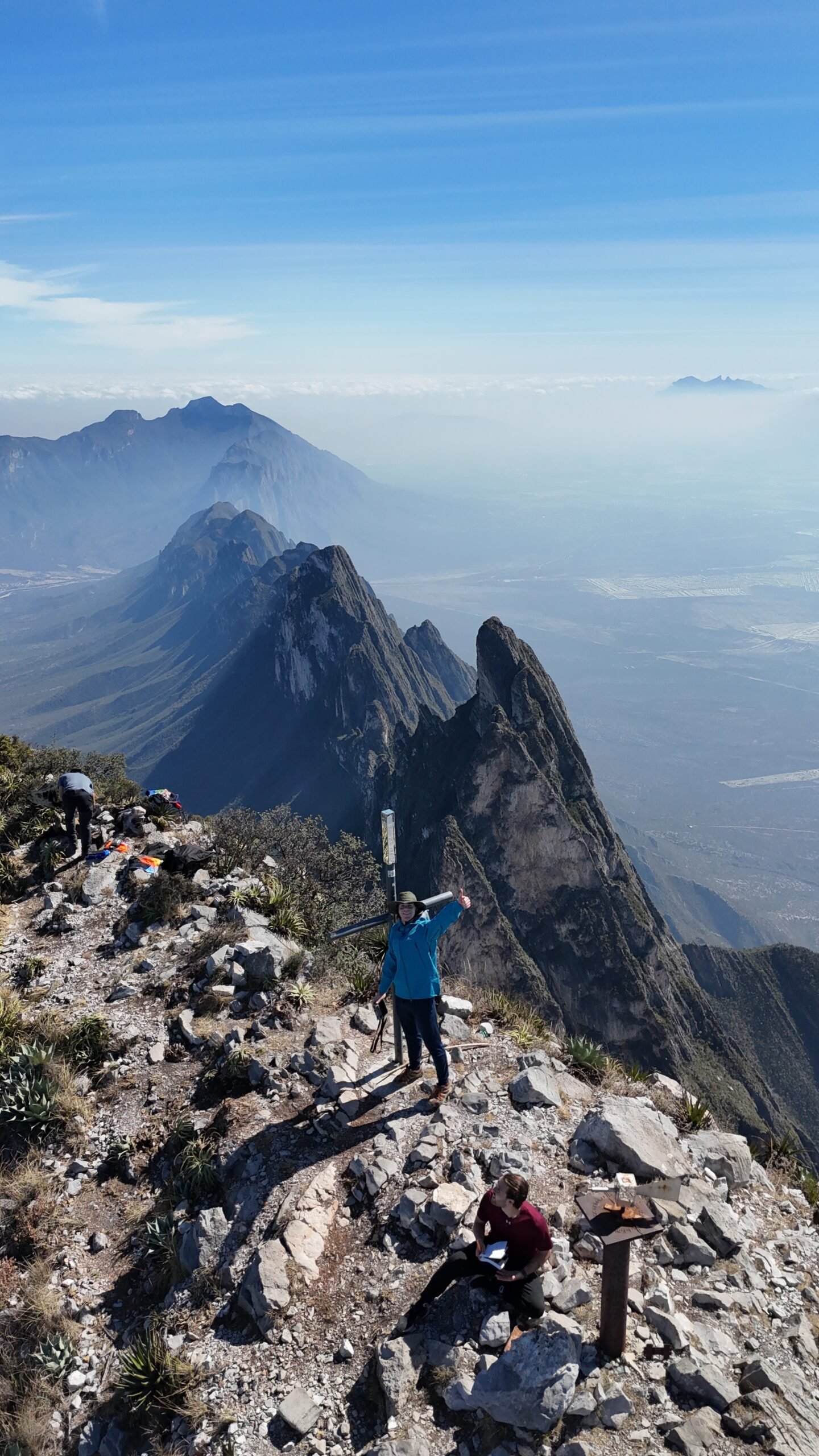
As you approach the summit, the terrain gets more serious and there is one exposed section that can be dangerous if you are tired, careless, or uncomfortable with heights. Once on top, you get big views and the satisfaction of finishing one of the tougher hikes in the region.
Tips & safety
Bring more water than you think you need. This hike is exposed and the heat can make it much harder.
Start early, especially in warmer months.
Do not attempt this hike unless you are already in good physical condition.
Be extra careful near the summit where the terrain becomes more exposed.
This is a much better hike for cooler weather than for hot summer days.
Wear shoes with solid grip and bring enough food for a long day.
Let someone know your plan before heading out.
Reviews
Reviews
Share conditions, safety notes, difficulty, and anything helpful for the next hiker.
 Uploaded by
Henry Hates Hiking
Uploaded by
Henry Hates Hiking
Recent reviews
0Log in to leave a review
You must be logged in to post a comment.
Be the first person to leave useful feedback for this trail.