
Guía de ruta
Cañón El Mandarin is a medium hiking route in Allende, Nuevo Leon, Mexico. The trail is approximately 6.14 km with about 1064 meters of elevation gain and usually takes around 5 hours.Trail overviewCañón El Mandarín is a one-way canyon route in the mountains between Allende and Montemorelos. The route starts near Charco Azul and follows the canyon downward through closed vegetation, rocky river sections, pools, downclimbs, and waterfalls. Wikiloc describes the route as a good introduction for bigger canyon routes like Matacanes or Hidrofobia, but it still requires solid physical condition, comfort in water, and experience moving through rough terrain. The highlights are the clear pools, hidden waterfall sections, and final cascades near the end of the route. Some sections can be downclimbed, while others may involve jumping into water or using rappel depending on the group’s comfort and conditions.Route summaryThe route begins at Charco Azul, a cold, shaded pool near the upper part of the canyon. From there, the route descends through the canyon with dense vegetation, rocky terrain, and sections where you move directly through the river or along its edge. Expect a mix of walking, scrambling, downclimbing, and swimming, and cliff jumping. Midway through the canyon, there is a hidden waterfall area, followed by a longer lower river section with rock, dirt, and water walking. Near the end, the route reaches several of the best features: clear pools and waterfalls where some groups jump, downclimb, or set up rappel depending on conditions and ability. Tips and safetyDo not do this route if there is rain in the forecast or recent heavy rain. This is a canyon route, so water levels and flash-flood risk matter. Wear long sleeves and long pants if possible. The Wikiloc description specifically mentions closed vegetation and potentially irritating or dangerous plants like ivy. Bring shoes with excellent grip that can get wet. You should expect river walking, wet rock, downclimbs, and slippery sections. Go with someone who knows the route or hire a guide. This is not a beginner-friendly trail-card hike despite the relatively short distance. Bring dry bags, helmet, first aid kit, headlamp, enough water, and a GPS track downloaded offline. Cell service should not be assumed. Do not jump into pools unless someone has checked the depth and landing zone first. Water levels change.
Resumen
Cañón El Mandarín es una ruta de cañonismo de un solo sentido en la zona de montaña entre Allende y Montemorelos. La ruta inicia cerca de Charco Azul y desciende por el cañón entre vegetación cerrada, secciones de río, roca, pozas, destrepes y cascadas.
Aunque es una buena ruta para quienes quieren empezar a conocer cañones más técnicos, no debe subestimarse. Requiere buena condición física, seguridad al moverse en terreno irregular, comodidad en el agua y experiencia básica en rutas de aventura. Lo mejor de la ruta son sus pozas de agua clara, cascadas escondidas y las secciones finales del cañón. Dependiendo de las condiciones y del nivel del grupo, algunas partes se pueden destrepar, saltar o hacer con rappel.
Cómo llegar
Access is part of the challenge. You enter through Allende and follow the road toward La Cebolla / La Trinidad. A high-clearance truck or 4×4 is recommended. It takes approximately 2.5 hours to reach the starting point, which is near Charco Azul.
Como es una ruta de un solo sentido, es importante planear bien la logística antes de empezar. Necesitas coordinar transporte de salida, dejar un vehículo al final o ir con alguien que ya tenga la logística completa.
Ruta
La ruta empieza en Charco Azul, una poza fría y sombreada en la parte alta del cañón. Desde ahí se desciende por el cauce, avanzando entre vegetación cerrada, roca, agua y secciones donde hay que caminar, trepar, destrepar, nadar y moverse con cuidado por el río.
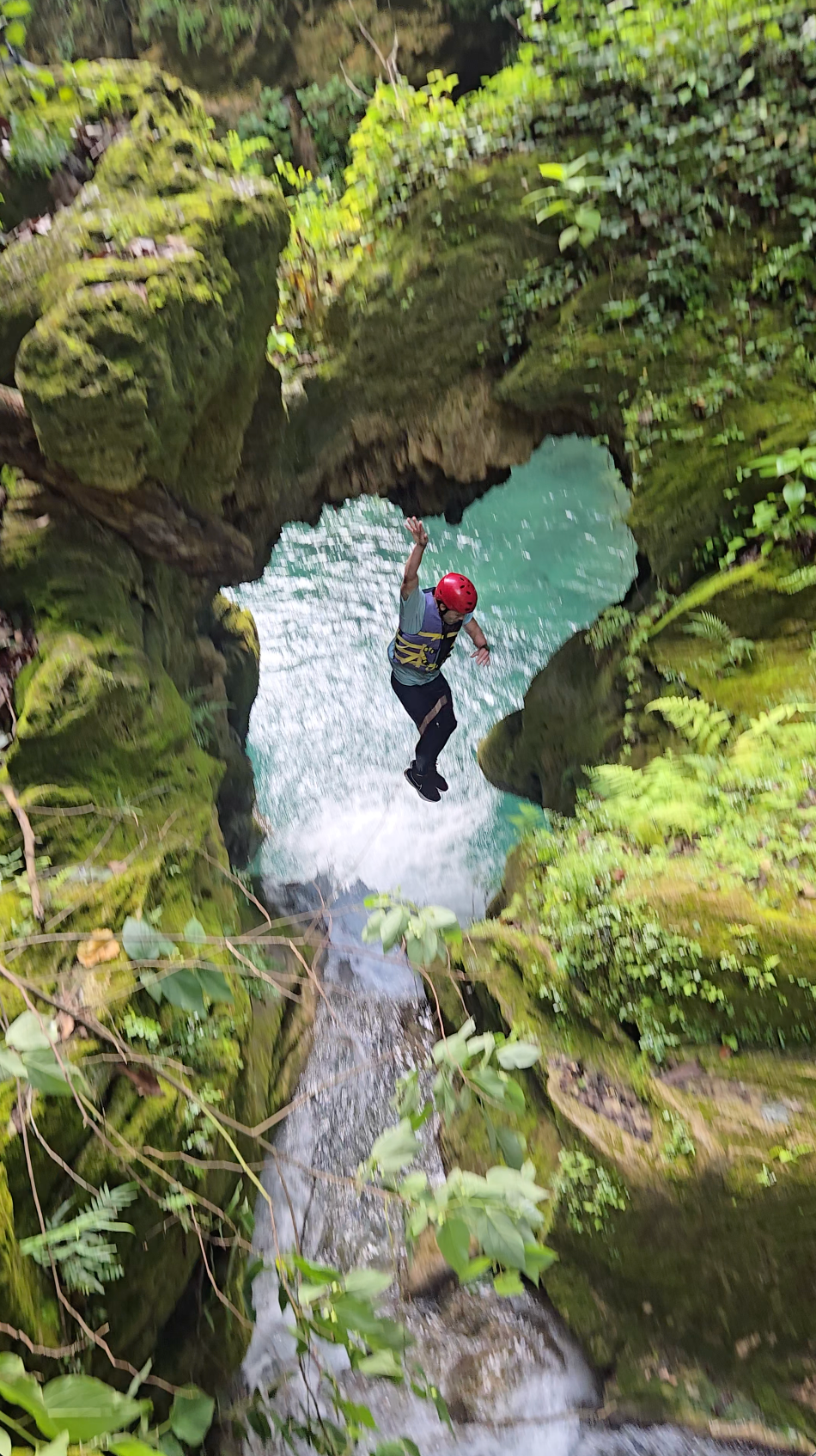
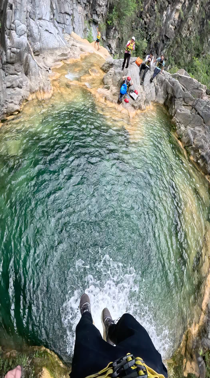
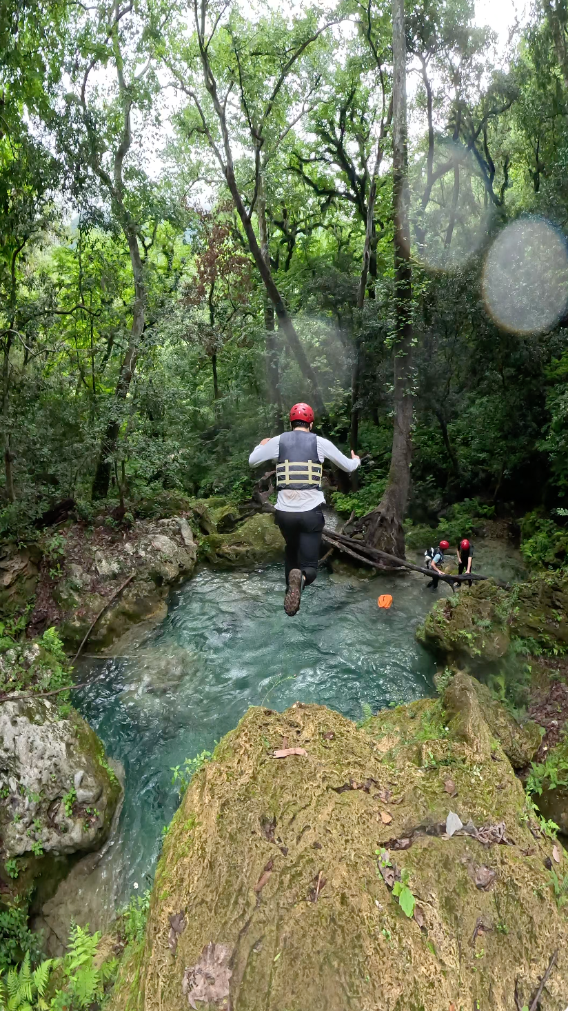
A mitad del cañón aparecen zonas más cerradas y una sección de cascada escondida. Más adelante, el recorrido continúa por una parte más larga de río, con tramos de roca, tierra y agua. Cerca del final están varios de los puntos más atractivos de la ruta: pozas claras, cascadas y secciones donde algunos grupos saltan, destrepan o instalan rappel dependiendo del nivel, el clima y las condiciones del cañón.
Tips y seguridad
Do not do this route if there is rain in the forecast or recent heavy rain. This is a canyon route, so water levels and flash-flood risk matter.
Wear long sleeves and long pants if possible. The Wikiloc description specifically mentions closed vegetation and potentially irritating or dangerous plants like ivy.
Bring shoes with excellent grip that can get wet. You should expect river walking, wet rock, downclimbs, and slippery sections.
Go with someone who knows the route or hire a guide. This is not a beginner-friendly trail-card hike despite the relatively short distance.
Bring dry bags, helmet, first aid kit, headlamp, enough water, and a GPS track downloaded offline. Cell service should not be assumed.
Do not jump into pools unless someone has checked the depth and landing zone first. Water levels change.
Reseñas
Opiniones
Comparte condiciones, seguridad, dificultad y cualquier información útil para el próximo senderista.
 Subida por
Henry Hates Hiking
Subida por
Henry Hates Hiking
Reseñas recientes
0Inicia sesión para dejar una reseña
Lo siento, debes estar conectado para publicar un comentario.
Sé la primera persona en dejar información útil sobre esta ruta.