
Trail guide
Mirador Teleférico is a easy hiking route in Cerro de la Silla, Monterrey, Mexico. The trail is approximately 4.88 km with about 500 meters of elevation gain and usually takes around 3.9 hours.Trail overviewThis trail starts from the Bosques de la Pastora / Colonia La Pastora area and climbs continuously up Cerro de la Silla to the mirador at the old Teleférico station (~1,665 m). The terrain is relatively defined and accessible, mostly a steep but clear path.Route summaryFrom the trailhead you climb steadily through the urban-forest fringe, then through steeper mountain trail segments until reaching the platform of the old teleférico and the viewpoint area. After enjoying the view, descend back via the same path to your starting point.Tips and safetyBring at least 2-3 litres of water — steep continuous climb and return demand good hydration. Wear shoes with good traction, since there are steep sections that can challenge footing. Start early to avoid heat buildup and to ensure you complete descent in good light. Use sun protection: the ascent has exposed sections with significant solar load. Download the GPX or have an offline map for confidence — although it’s well-used, trails always benefit from navigation backup. Inform someone of your plan and expected return time — although the route is popular, it’s still mountain terrain.
Overview
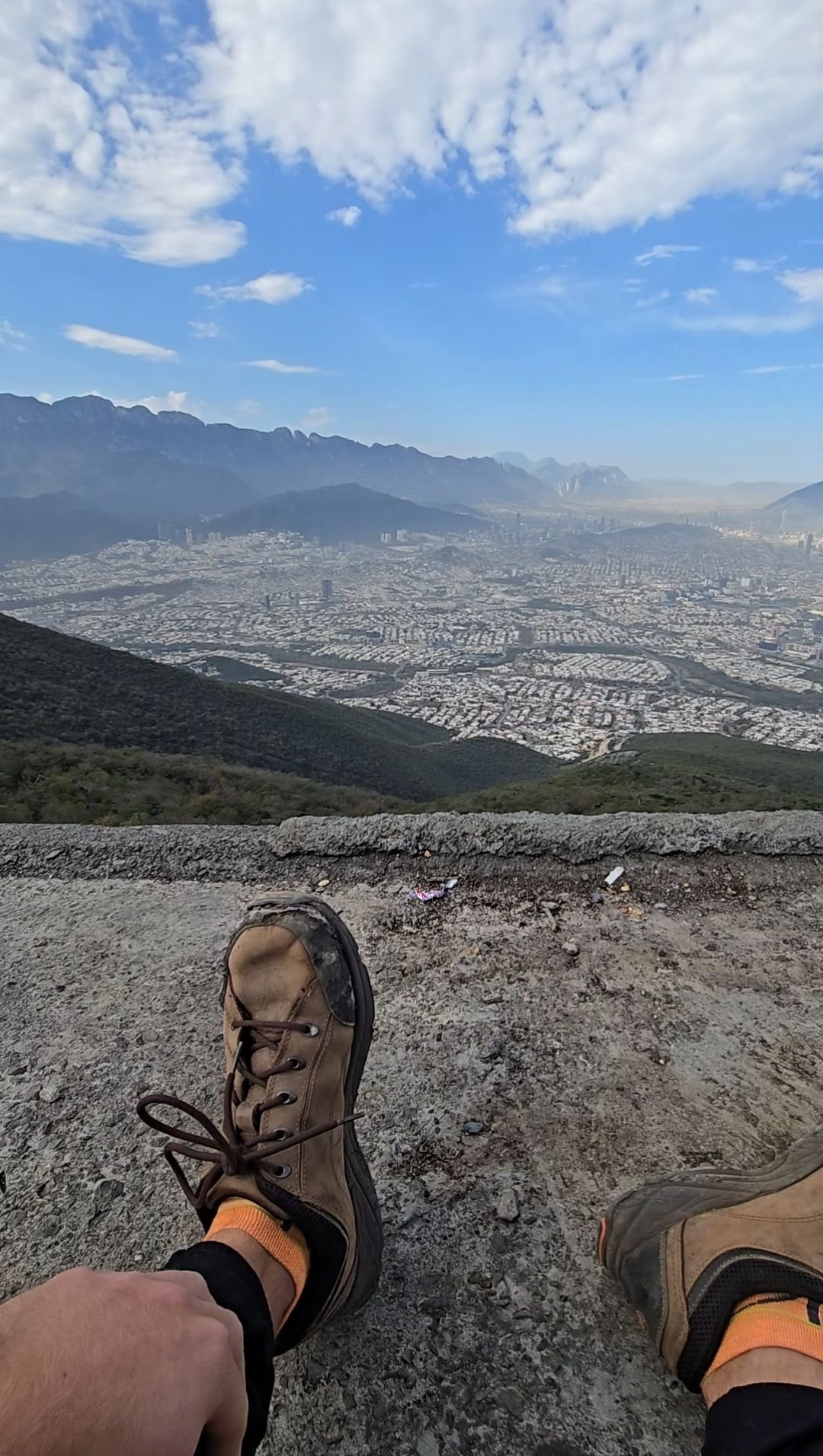
This trail starts from the Bosques de la Pastora / Colonia La Pastora area and climbs continuously up Cerro de la Silla to the mirador at the old Teleférico station (~1,665 m). The terrain is relatively defined and accessible, mostly a steep but clear path.
Getting there
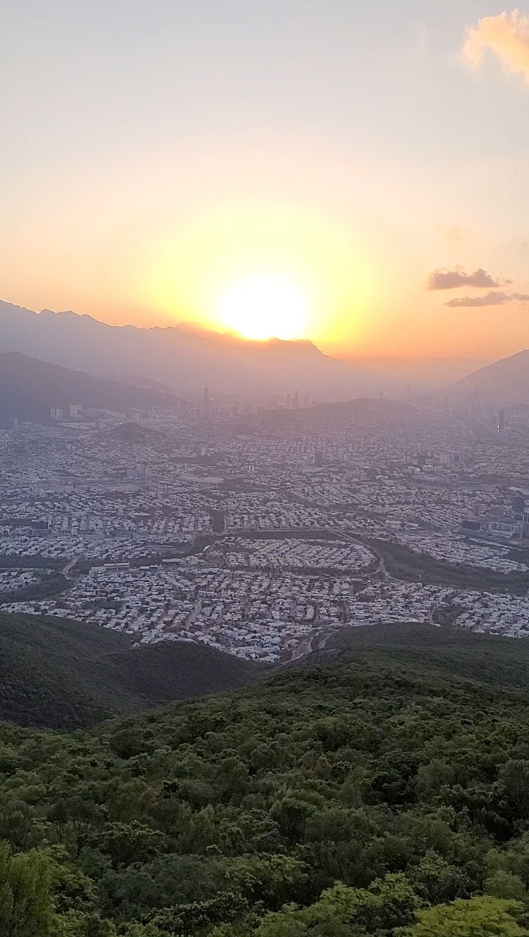
Park near the entrance of Colonia La Pastora in Guadalupe/Monterrey municipality. Begin walking from the trailhead where the road ends and the official pedestrian access begins. Because the ascent is significant, plan for an early start to have full daylight for ascent and descent. However, the views at dawn and dusk are incredible. Just be careful if you will be traversing the route in the dark and plan accordingly.
Route summary
From the trailhead you climb steadily through the urban-forest fringe, then through steeper mountain trail segments until reaching the platform of the old teleférico and the viewpoint area. After enjoying the view, descend back via the same path to your starting point.
Tips & safety
Bring at least 2-3 litres of water — steep continuous climb and return demand good hydration.
Wear shoes with good traction, since there are steep sections that can challenge footing.
Start early to avoid heat buildup and to ensure you complete descent in good light.
Use sun protection: the ascent has exposed sections with significant solar load.
Download the GPX or have an offline map for confidence — although it’s well-used, trails always benefit from navigation backup.
Inform someone of your plan and expected return time — although the route is popular, it’s still mountain terrain.
Reviews
Reviews
Share conditions, safety notes, difficulty, and anything helpful for the next hiker.
 Uploaded by
Henry Hates Hiking
Uploaded by
Henry Hates Hiking
Recent reviews
1Log in to leave a review
You must be logged in to post a comment.
Jajajaja cuando fui me toco ver de todo, al chile si esta chido, es normal ver gente subiendo a todas horas, creo yo que ya es el hike más concurrido de la ciudad