
Trail guide
Pico Antena is a medium hiking route in Cerro de la Silla, Monterrey, Mexico. The trail is approximately 12.3 km with about 1230 meters of elevation gain and usually takes around 6 hours.Trail overviewThis route up to Pico Antena climbs the southern flank of Cerro de la Silla starting from the Bosques de la Pastora area. The trail rises steadily, mostly paved or cemented path in many sections, with a constant steep incline. The finish line is the summit-antenna structure at ~1,789 m elevation, giving sweeping views over the city and surrounding peaks. It’s less technical than some crest routes, but don’t be fooled—physical demand is high.Route summaryThe climb begins at the trailhead, moves steadily upward on a cemented or well-worn path through vegetation, interspersed with short flat spots. Mid-route you’ll pass the Teleférico platform ruins, a small shrine/mirador at “La Virgen”, and a viewpoint at “Los 10 Mandamientos.” The final stretch rises sharply toward the summit antenna structure. Once at the top, admire the views; the descent follows the same path backward—focus on your knees and footing as you return.Tips and safetyBring 2–3 liters of water – steep climb + sun exposure = dehydration risk. Wear shoes with strong traction – even paved paths can be slick or steep. Start early (sunrise if you can) to avoid the midday heat and ensure safe descent. Sun protection (hat, sunglasses, sunscreen) is non-negotiable. While the route is well-used, still let someone know your plan and estimated return. On descent, keep your pace moderate—the slope fatigue can sneak up on you. If you suffer vertigo or intense fatigue, consider turning back before the summit—it’s not worth risk.
Overview
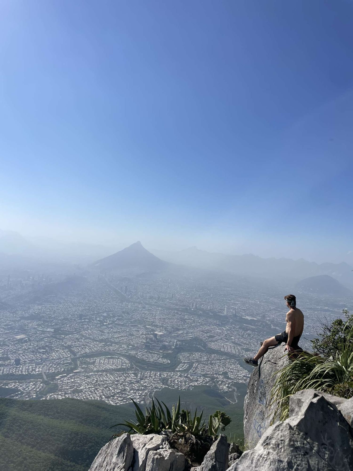
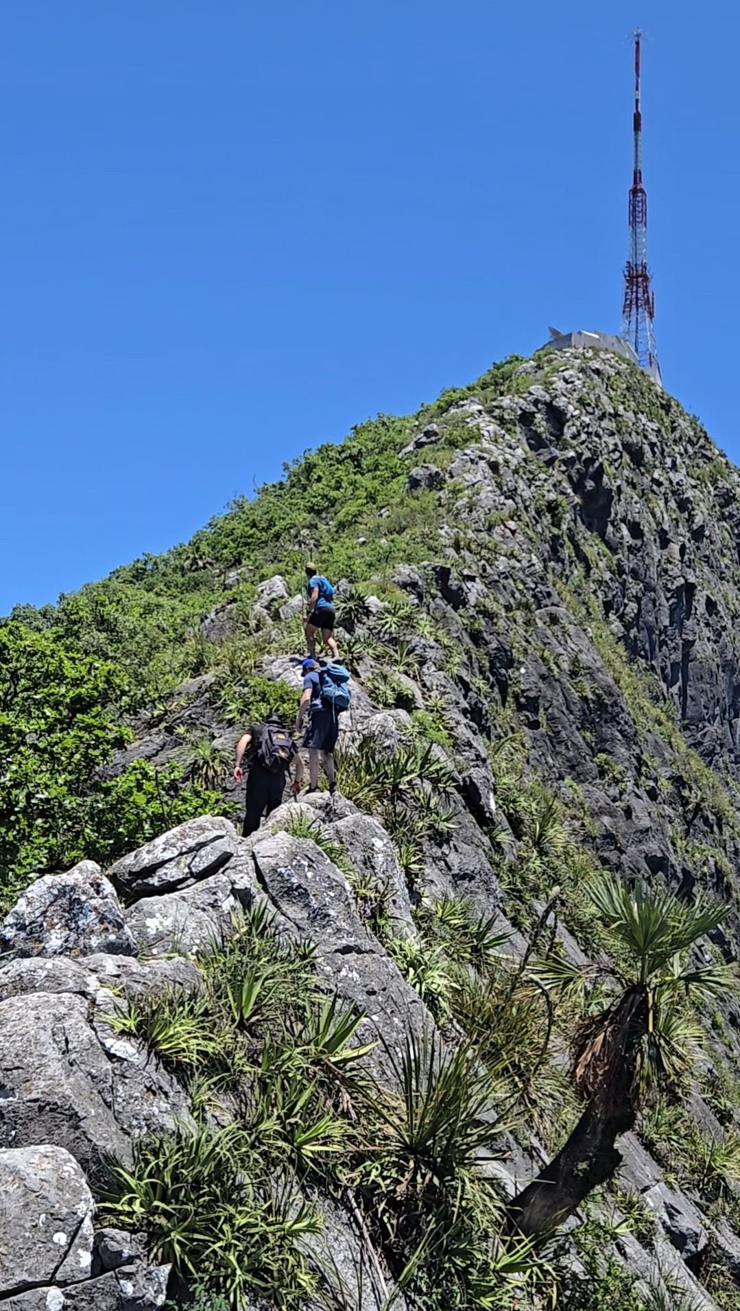
This route up to Pico Antena climbs the southern flank of Cerro de la Silla starting from the Bosques de la Pastora area. The trail rises steadily, mostly paved or cemented path in many sections, with a constant steep incline. The finish line is the summit-antenna structure at ~1,789 m elevation, giving sweeping views over the city and surrounding peaks. It’s less technical than some crest routes, but don’t be fooled—physical demand is high.
Getting there
Park in Bosques de la Pastora / Colonia La Pastora in Guadalupe or Monterrey fringe. Walk through the access from the residential gate to the trailhead. Because the route is popular, it’s wise to start early to secure parking and beat the heat.
Route summary
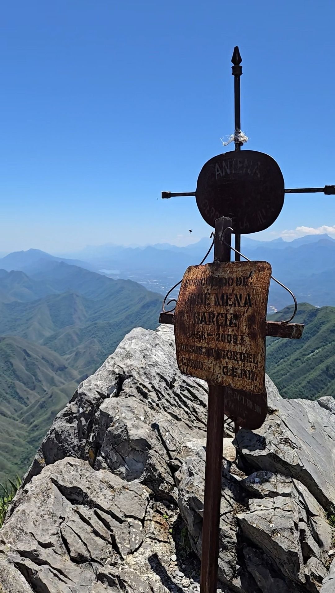
The climb begins at the trailhead, moves steadily upward on a cemented or well-worn path through vegetation, interspersed with short flat spots. Mid-route you’ll pass the Teleférico platform ruins, a small shrine/mirador at “La Virgen”, and a viewpoint at “Los 10 Mandamientos.” The final stretch rises sharply toward the summit antenna structure. Once at the top, admire the views; the descent follows the same path backward—focus on your knees and footing as you return.
Tips & safety
Bring 2–3 liters of water – steep climb + sun exposure = dehydration risk.
Wear shoes with strong traction – even paved paths can be slick or steep.
Start early (sunrise if you can) to avoid the midday heat and ensure safe descent.
Sun protection (hat, sunglasses, sunscreen) is non-negotiable.
While the route is well-used, still let someone know your plan and estimated return.
On descent, keep your pace moderate—the slope fatigue can sneak up on you.
If you suffer vertigo or intense fatigue, consider turning back before the summit—it’s not worth risk.
Reviews
Reviews
Share conditions, safety notes, difficulty, and anything helpful for the next hiker.
 Uploaded by
Henry Hates Hiking
Uploaded by
Henry Hates Hiking
Recent reviews
0Log in to leave a review
You must be logged in to post a comment.
Be the first person to leave useful feedback for this trail.