
Trail guide
Pico Sur is a difficult hiking route in Cerro de la Silla, Monterrey, Mexico. The trail is approximately 10 km with about 1310 meters of elevation gain and usually takes around 7 hours.Trail overviewThis route climbs the southern peak of Cerro de la Silla (Pico Sur) via the San Ángel corridor. Expect a serious, technical ascent that mixes steep terrain, exposed rock faces, and ropes/chains in parts. The trail begins in the La Presa/San Ángel zone, rises rapidly, and finishes atop Pico Sur with sweeping views of the city and surrounding mountains. Not for beginners — you’ll need strength, sure footing, and comfort with exposure.Route summaryThe climb kicks off with a well-marked but steep trail through shrub and rock. After initial push you encounter “El Espejo” (a polished rock slab with ropes for support) and the “Paso de los Arrepentidos” (a highly exposed chimney section with chains). After these technical segments, you reach the summit ridge of Pico Sur. Navigation slows on descent — either return the same way or continue via an alternate descent (if you’re equipped and experienced). Your main challenge: terrain, exposure, rapid elevation gain.Tips and safetyThis is a very technical route; ropes/chains, exposure and loose rock abound — treat like alpine hike. Bring 3+ liters of water, good traction boots, helmet if possible. Start very early: terrain gets hot, and you’ll want daylight for descent. Download the route (GPX) beforehand — markings become sparse in technical sections. Don’t go solo; better as a group for safety, especially in exposed sections. Use gloves for chains/ropes, and be cautious of loose rock overhead. Sun protection absolutely essential — early start or cooler season preferred. Afternoon storms may make descent dangerous — avoid if weather is uncertain.
Overview
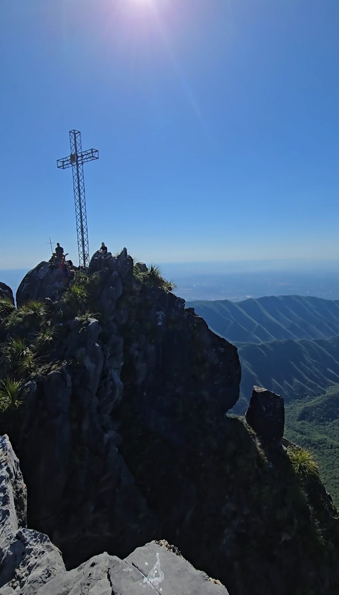
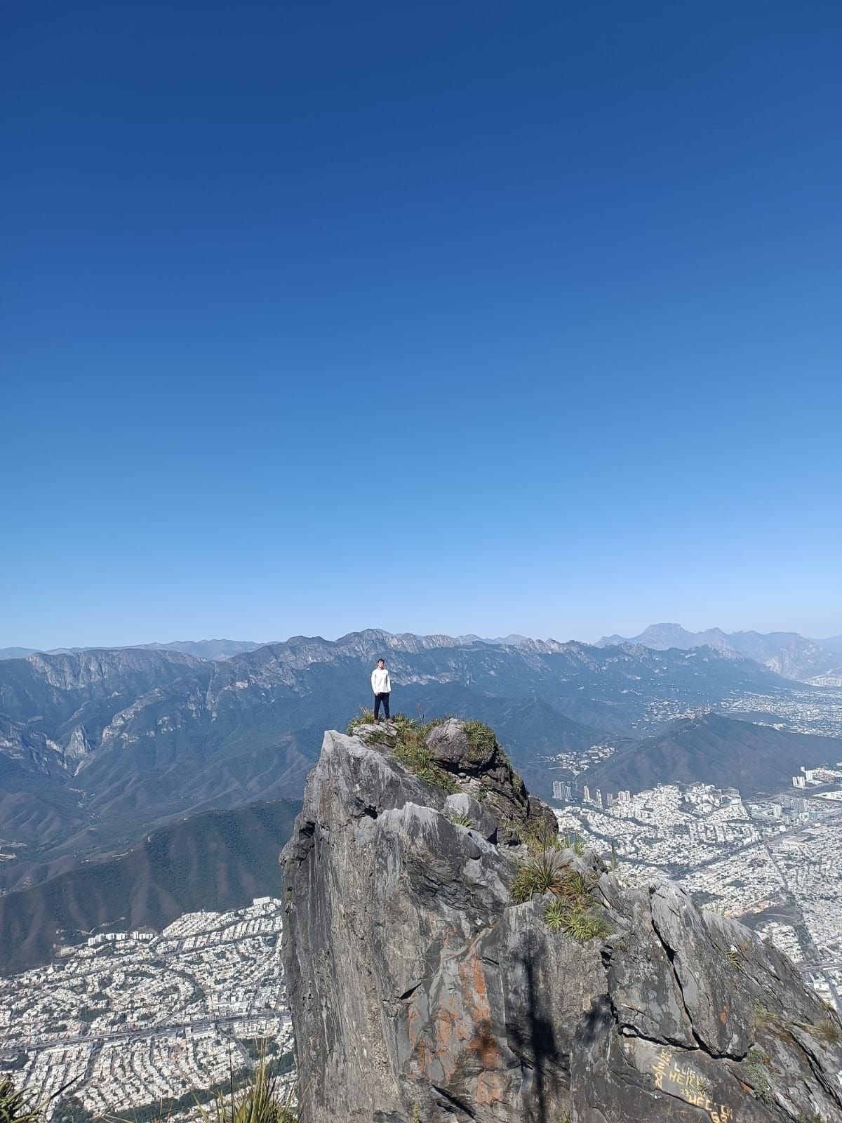
This route climbs the southern peak of Cerro de la Silla (Pico Sur) via the San Ángel corridor. Expect a serious, technical ascent that mixes steep terrain, exposed rock faces, and ropes/chains in parts. The trail begins in the La Presa/San Ángel zone, rises rapidly, and finishes atop Pico Sur with sweeping views of the city and surrounding mountains. Not for beginners — you’ll need strength, sure footing, and comfort with exposure.
Getting there
Start at the end of Calle Valle Verde in Colonia San Ángel (or nearby access point) in Monterrey/La Presa. From there, the trail heads up the mountain. Be mindful of the early urban stretch, park safely, and begin as early as possible. The route is direct but steep and technical. If possible, don’t park your car in San Angel. The neighborhood is very unsafe. Keep your wits about you while walking through there.
Route summary
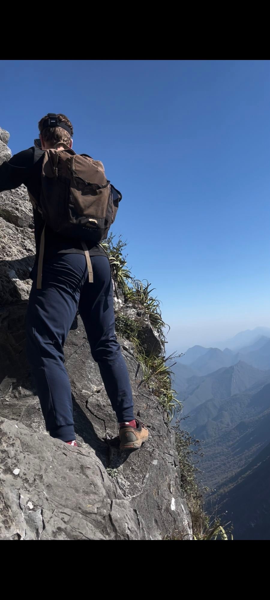
The climb kicks off with a well-marked but steep trail through shrub and rock. After initial push you encounter “El Espejo” (a polished rock slab with ropes for support) and the “Paso de los Arrepentidos” (a highly exposed chimney section with chains). After these technical segments, you reach the summit ridge of Pico Sur. Navigation slows on descent — either return the same way or continue via an alternate descent (if you’re equipped and experienced). Your main challenge: terrain, exposure, rapid elevation gain.
Tips & safety
This is a very technical route; ropes/chains, exposure and loose rock abound — treat like alpine hike.
Bring 3+ liters of water, good traction boots, helmet if possible.
Start very early: terrain gets hot, and you’ll want daylight for descent.
Download the route (GPX) beforehand — markings become sparse in technical sections.
Don’t go solo; better as a group for safety, especially in exposed sections.
Use gloves for chains/ropes, and be cautious of loose rock overhead.
Sun protection absolutely essential — early start or cooler season preferred.
Afternoon storms may make descent dangerous — avoid if weather is uncertain.
Reviews
Reviews
Share conditions, safety notes, difficulty, and anything helpful for the next hiker.
 Uploaded by
Henry Hates Hiking
Uploaded by
Henry Hates Hiking
Recent reviews
0Log in to leave a review
You must be logged in to post a comment.
Be the first person to leave useful feedback for this trail.