
Trail guide
Cañón El Mandarin is a medium hiking route in Allende, Nuevo Leon, Mexico. The trail is approximately 6.14 km with about 1064 meters of elevation gain and usually takes around 5 hours.Trail overviewCañón El Mandarín is a one-way canyon route in the mountains between Allende and Montemorelos. The route starts near Charco Azul and follows the canyon downward through closed vegetation, rocky river sections, pools, downclimbs, and waterfalls. Wikiloc describes the route as a good introduction for bigger canyon routes like Matacanes or Hidrofobia, but it still requires solid physical condition, comfort in water, and experience moving through rough terrain. The highlights are the clear pools, hidden waterfall sections, and final cascades near the end of the route. Some sections can be downclimbed, while others may involve jumping into water or using rappel depending on the group’s comfort and conditions.Route summaryThe route begins at Charco Azul, a cold, shaded pool near the upper part of the canyon. From there, the route descends through the canyon with dense vegetation, rocky terrain, and sections where you move directly through the river or along its edge. Expect a mix of walking, scrambling, downclimbing, and swimming, and cliff jumping. Midway through the canyon, there is a hidden waterfall area, followed by a longer lower river section with rock, dirt, and water walking. Near the end, the route reaches several of the best features: clear pools and waterfalls where some groups jump, downclimb, or set up rappel depending on conditions and ability. Tips and safetyDo not do this route if there is rain in the forecast or recent heavy rain. This is a canyon route, so water levels and flash-flood risk matter. Wear long sleeves and long pants if possible. The Wikiloc description specifically mentions closed vegetation and potentially irritating or dangerous plants like ivy. Bring shoes with excellent grip that can get wet. You should expect river walking, wet rock, downclimbs, and slippery sections. Go with someone who knows the route or hire a guide. This is not a beginner-friendly trail-card hike despite the relatively short distance. Bring dry bags, helmet, first aid kit, headlamp, enough water, and a GPS track downloaded offline. Cell service should not be assumed. Do not jump into pools unless someone has checked the depth and landing zone first. Water levels change.
Overview
Cañón El Mandarín is a one-way canyon route in the mountains between Allende and Montemorelos. The route starts near Charco Azul and follows the canyon downward through closed vegetation, rocky river sections, pools, downclimbs, and waterfalls. Wikiloc describes the route as a good introduction for bigger canyon routes like Matacanes or Hidrofobia, but it still requires solid physical condition, comfort in water, and experience moving through rough terrain.
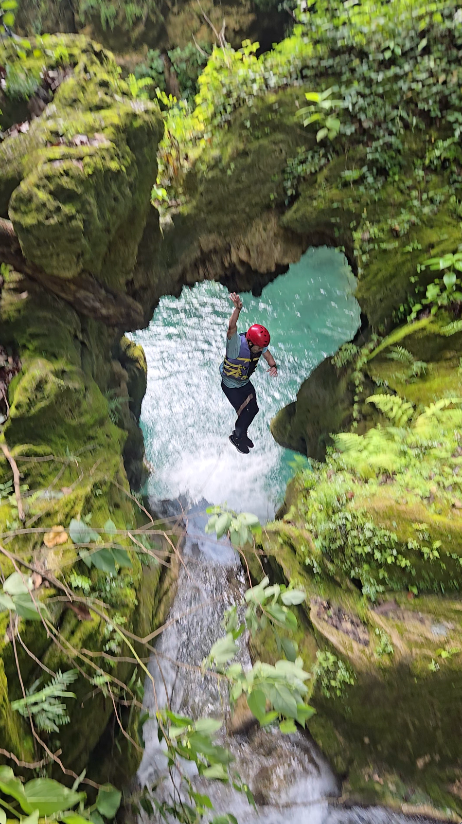
The highlights are the clear pools, hidden waterfall sections, and final cascades near the end of the route. Some sections can be downclimbed, while others may involve jumping into water or using rappel depending on the group’s comfort and conditions.
Getting there
Access is part of the challenge. You enter through Allende and follow the road toward La Cebolla / La Trinidad. A high-clearance truck or 4×4 is recommended. It takes approximately 2.5 hours to reach the starting point, which is near Charco Azul.
Because this is a one-way canyon route, plan transportation carefully. You will either need a pickup arrangement at the exit or a group logistics plan before starting.
Route summary
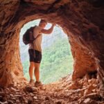
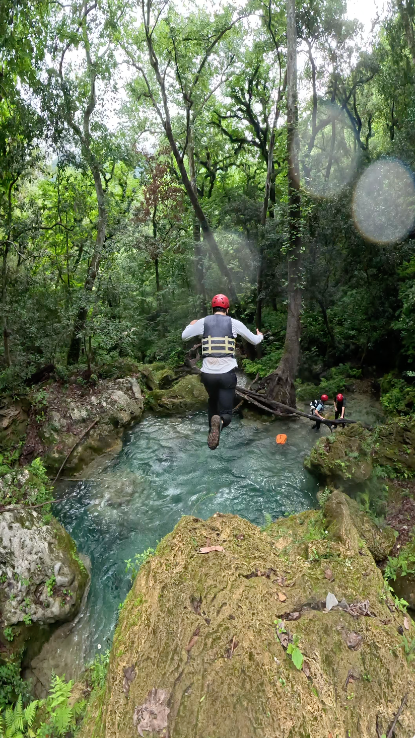
The route begins at Charco Azul, a cold, shaded pool near the upper part of the canyon. From there, the route descends through the canyon with dense vegetation, rocky terrain, and sections where you move directly through the river or along its edge. Expect a mix of walking, scrambling, downclimbing, and swimming, and cliff jumping.
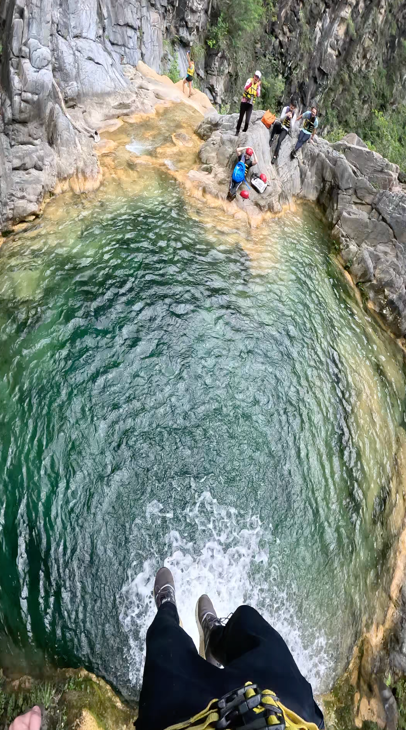
Midway through the canyon, there is a hidden waterfall area, followed by a longer lower river section with rock, dirt, and water walking. Near the end, the route reaches several of the best features: clear pools and waterfalls where some groups jump, downclimb, or set up rappel depending on conditions and ability.
Tips & safety
Do not do this route if there is rain in the forecast or recent heavy rain. This is a canyon route, so water levels and flash-flood risk matter.
Wear long sleeves and long pants if possible. The Wikiloc description specifically mentions closed vegetation and potentially irritating or dangerous plants like ivy.
Bring shoes with excellent grip that can get wet. You should expect river walking, wet rock, downclimbs, and slippery sections.
Go with someone who knows the route or hire a guide. This is not a beginner-friendly trail-card hike despite the relatively short distance.
Bring dry bags, helmet, first aid kit, headlamp, enough water, and a GPS track downloaded offline. Cell service should not be assumed.
Do not jump into pools unless someone has checked the depth and landing zone first. Water levels change.
Reviews
Reviews
Share conditions, safety notes, difficulty, and anything helpful for the next hiker.
 Uploaded by
Henry Hates Hiking
Uploaded by
Henry Hates Hiking
Recent reviews
0Log in to leave a review
You must be logged in to post a comment.
Be the first person to leave useful feedback for this trail.